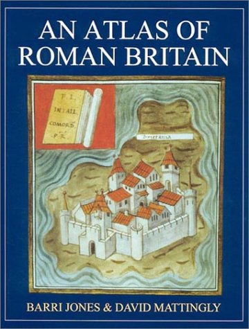
First published in 1990, this is a comprehensive atlas containing over 270 detailed and wide-ranging maps, figures, plans and site photographs on all aspects of Roman Britain. The maps cover political and military history as well as the physical geography of Britain and the view Roman geographers had of it. Evidence for economic activity, including mining and pottery production, studies of life in town and country, and of religion, is given in the maps. Major monuments, such as Hadrian’s Wall, feature on the larger scale maps and plans.
Sale end in:
An Atlas of Roman Britain
By: Barri Jones
ISBN-10: 1842170678
ISBN-13 : 978-1842170670
Publisher : Oxbow Books; 2nd edition (March 15, 2007)
Language : English
Hardcover: 342 pages
Reading Age : None
Dimensions : 8.5 x 0.75 x 10.75 inches
Item Weight : 2.97 pounds
$19.13 $15.30
SKU9781842170670


There are no reviews yet.