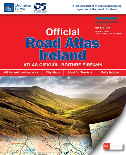
This edition contains updated road maps covering Ireland, plus City and Town Maps and Motoring Information, Distance Charts and Extensive Gazetteer (Index of Towns). This new 8th edition is published in conjunction with Ordnance Survey Northern Ireland and the Road Safety Authority (RSA) and features Collision Zones, Speed Detection Zones and Tolled Roads. (This product is produced with the co-operation of Ordnance Survey Northern Ireland, OSNI).
Sale end in:
Official Road Atlas Ireland: Autoatlas
ISBN-10: 1912140470
ISBN-13 : 978-1912140473
Publisher : Ordnance Survey Ireland; 8th edition (April 9, 2021)
Language : English
Paperback: None
Reading Age : None
Dimensions : 8.82 x 0.67 x 10.59 inches
Item Weight : 15.7 ounces
$17.76 $14.21


There are no reviews yet.